How to Make a Custom Map Poster Online
Making a custom map poster online is less about GIS accuracy and more about clear shapes, hierarchy, and a story people can read from across the room. With MAPDRAW.APP, you design in a browser map editor built for illustration—not a heavy desktop GIS suite.
This expanded guide covers the full workflow: canvas setup, land and water styling, paths, typography, personalization, and print export. If you want a faster start, browse templates or jump straight into the editor.
What “online map poster” actually means
You’re not plotting survey data. You’re composing wall art:
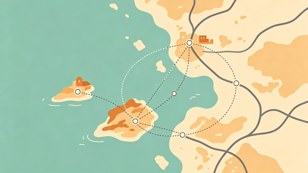
- Soft land masses and calm water
- Roads or routes as graphic structure
- A title that carries emotion (city name, couple names, trip year)
- Optional icons used with restraint
If your story is many trips over years, also read travel footprint posters and family multi-trip layouts.
Step 1: Create a project and lock the size
- Open /design (sign in via login to save to the cloud).
- Choose a poster size early—12×16, 18×24, A3/A2 are common. Changing aspect ratio late forces awkward crops. Details: size & aspect ratio guide.
- Leave a quiet margin for frames and mats.
Step 2: Frame the geography
Crop until the place is recognizable and readable. Downtown grids, coastlines, and rivers help orientation. Too wide and detail dies; too tight and the place feels anonymous.
Beginners: city map illustration tips.
Step 3: Style land, water, and linework
Build hierarchy:
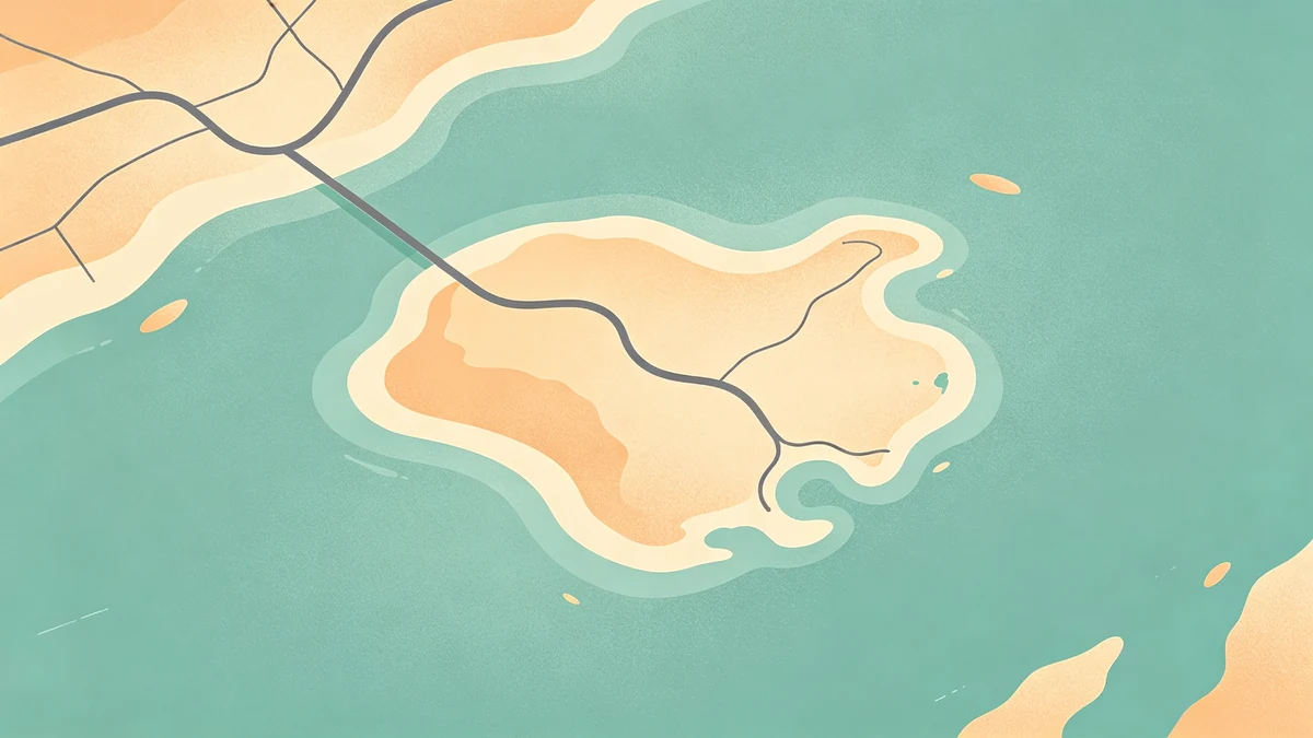
- Water as the calm base
- Land slightly warmer or lighter
- Roads/paths as structure—not noise
Illustrated maps often look better with soft land shapes than hyper-realistic basemaps. Coastal pieces can follow water & shoreline styling. For depth, see shadows on land.
Color direction: how to choose colors for illustrated maps. Monochrome direction: minimal map style guide or dark map posters.
Step 4: Add routes, icons, and labels carefully
- Routes for trips/races: road trip tutorial, hiking trail posters
- Icons: icons & stickers without clutter
- City/place labels: label without cluttering
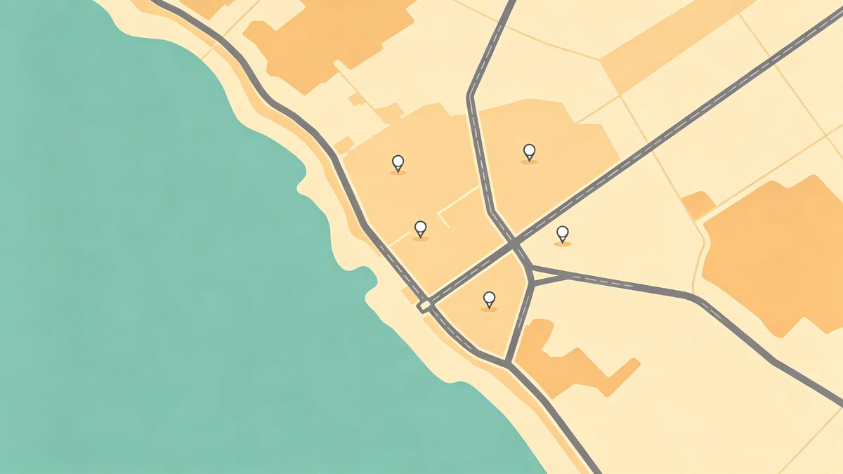
One meaningful marker beats twelve competing pins.
Step 5: Typography that sells the gift
Hero title → subtitle → optional meta line. Keep one type family when possible. Gift framings:
Step 6: Export for print or share
Use the print-ready export settings checklist: resolution, margins, soft-proofed colors, no clipped labels.
A 45-minute first poster workflow
Follow the sketch-to-finish checklist end-to-end, or:
- Template or blank board (5 min)
- Crop + land/water (15 min)
- Paths + one personal detail (15 min)
- Title + export (10 min)
FAQ
Do I need design experience?
No. Start from a template, adjust colors, add a title. Most first posters finish in under an hour.
Can I print commercially?
Export high-resolution files and use any print shop that accepts PDF/PNG. Soft-proof colors first.
Online vs downloadable software?
MAPDRAW.APP runs in the browser with cloud projects after sign-in—no heavy install required to start designing.
Keep exploring on MAPDRAW.APP
Ready to design? Open the map editor, browse templates, or check pricing.