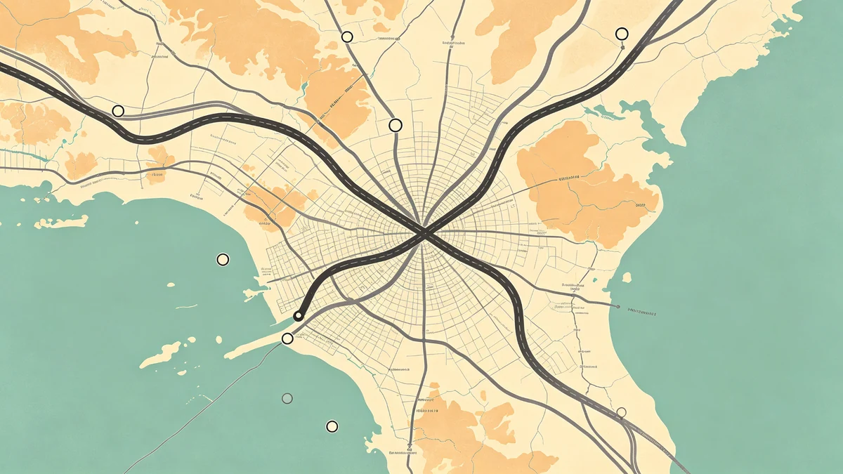
Road Trip Map Poster Tutorial
Road trip posters freeze a moving story: highways, border crossings, coast days, and the one gas-station town you’ll always joke about. This tutorial builds a print-ready piece in MAPDRAW.APP.
Compare formats: hiking trails for path-as-hero outdoors; travel footprints / family multi-trip when stops matter more than the line.
Step 1: Pick regional scale
Too tight and the route looks like a scribble; too wide and it becomes a thin hairline. Lock aspect ratio/size for the frame.
Step 2: Quiet the basemap
Use soft lands, restrained colors, and limited labels (labeling). The route must win.
Step 3: Draw the path with confidence
Smooth corners. Consistent stroke. Optional day-colored segments—keep to 2–3 accents max.
Step 4: Stops without sticker-bombing
3–7 stops max. Read icons & stickers. City names outside the densest areas.
Step 5: Title & caption
“Pacific Coast 2024” beats a paragraph. Typography mindset from beginner city tips still applies.
Step 6: Depth & mood
Light shadows on land; coastal water if oceans dominate; minimal or dark for modern apartments (décor ideas).
Step 7: Export
Follow print-ready export settings. Keep an editable cloud project after login.
Variants
- Honeymoon highway → pair with wedding maps
- Graduation trip → graduation gift ideas
- Anniversary redo of the same route → anniversary story maps
FAQ
Include every stop?
No. Edit like a documentary—only beats that matter.
Interstate shields and logos?
Avoid trademarked marks; descriptive labels are enough.
One state or multi-state?
Choose the scale where the route still has presence on the wall.
Keep exploring on MAPDRAW.APP
Ready to design? Open the map editor, browse templates, or check pricing.